A vital first step in seismic processing is the creation of the 2D/3D geometry. The Geo-X Interactive Geometry and QC software is used to make sure every trace is viewed and analyzed to create the correct geometry. This software can easily and efficiently view the data in many forms so that any geometry concerns are resolved. Seismic traces, scatter, patch information, fold maps, azimuthal distribution, and offset distribution can all be reviewed to increase our knowledge on a program and help detect any problems or issues.
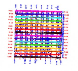 A small 3D with patch layout
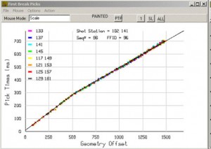 Time vs offset display for single or multiple shots
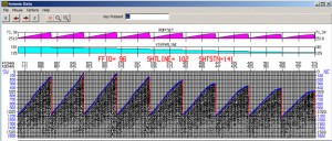 Shot data
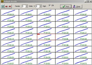 Multiple shots displayed for quick viewing
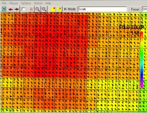 Scatter map with fold overlay
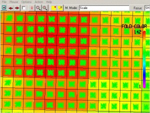 Azimuthal distribution with fold overlay
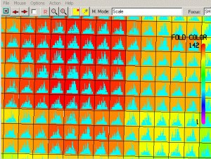 Offset histogram with fold overlay
![]()